THE STORY BEHIND THE NAME51 / 528
Baluard
Carrer del Baluard
THEN & NOWThe map uses the present-day name and location: Carrer del Baluard. The original book heading is retained in the reader and search.
A new grid beside the harbour.
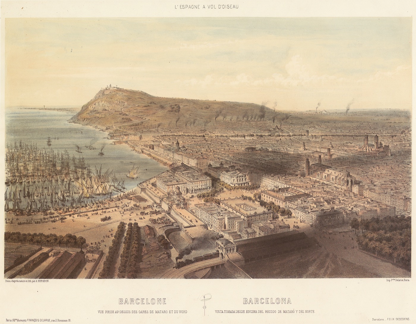
Baluard opens into Balaguer’s portrait of Barceloneta: a planned seaside settlement that partly answered the loss of the Ribera district to the Citadel.
IN BALAGUER’S TELLING
He credits the Marquis of La Mina with promoting the new neighbourhood and describes uniform brick houses, straight streets and an expanding population. By the time he wrote, additional floors and new building had already modified the original scheme. His description is a snapshot of a changing district, not today’s street plan.
THE BARCELONA CONNECTION
La Mina’s account continues the founder’s role, while Sant Agustí Vell shows the other side of the Citadel clearances. These connections make Barceloneta’s regular grid part of a wider urban displacement story rather than a settlement that simply appeared on empty land.
FROM THE ORIGINAL PAGES
“This neighbourhood partly replaced the celebrated Ribera district, demolished by Philip V for the construction of the Citadel.
From «Baluarte (calle del)» · vol. 1, p. 129 · 1888 · English translation
Read Balaguer’s complete street entry WHY THIS CATEGORY?
Places: Baluard names a fortified place. Balaguer describes Barceloneta here but does not explain the street’s particular naming occasion.
A city read through a nineteenth-century book. About our sources

 BARCELONA